
Supercomputers will start building a 3D map of the world
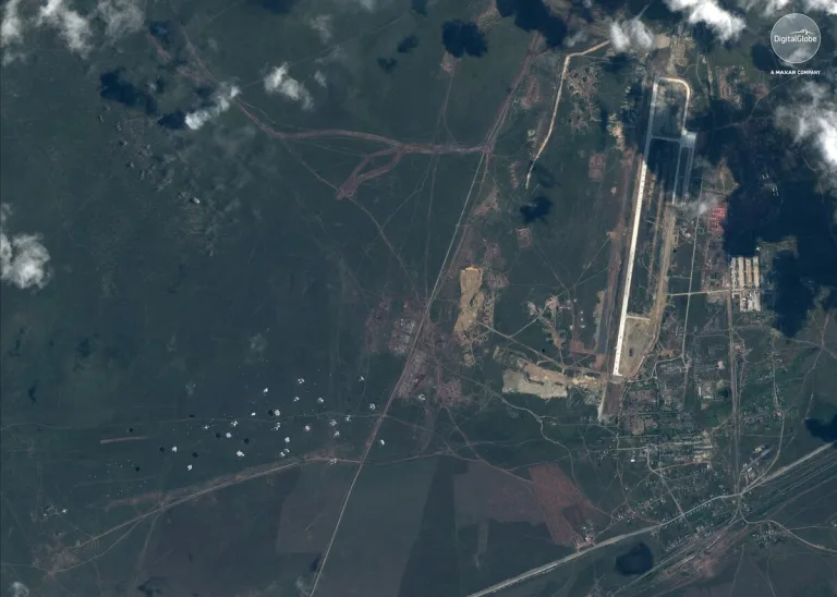
The National Geospatial-Intelligence Agency is teaming up with the University of Illinois, the University of Minnesota and The Ohio State University to produce digital elevation models of the world through a project called EarthDEM. By feeding satellite images of an area from different angles into the Blue Waters supercomputer, the team will be able to…